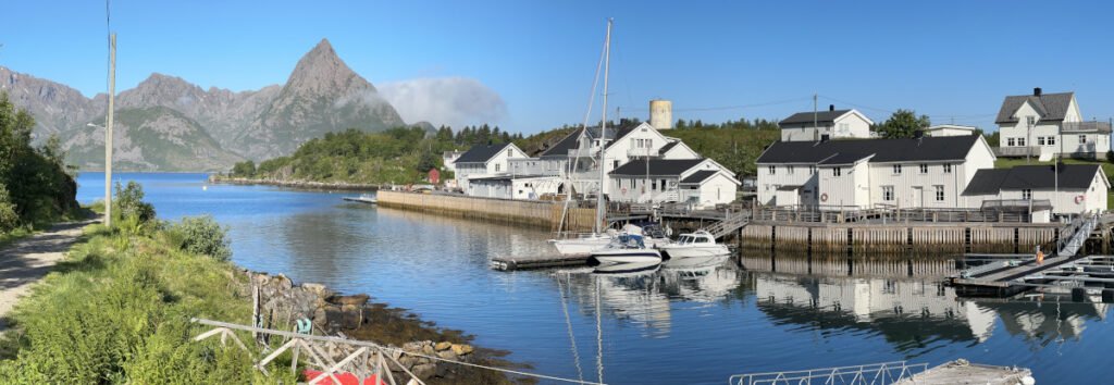
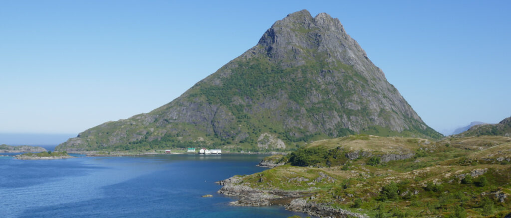
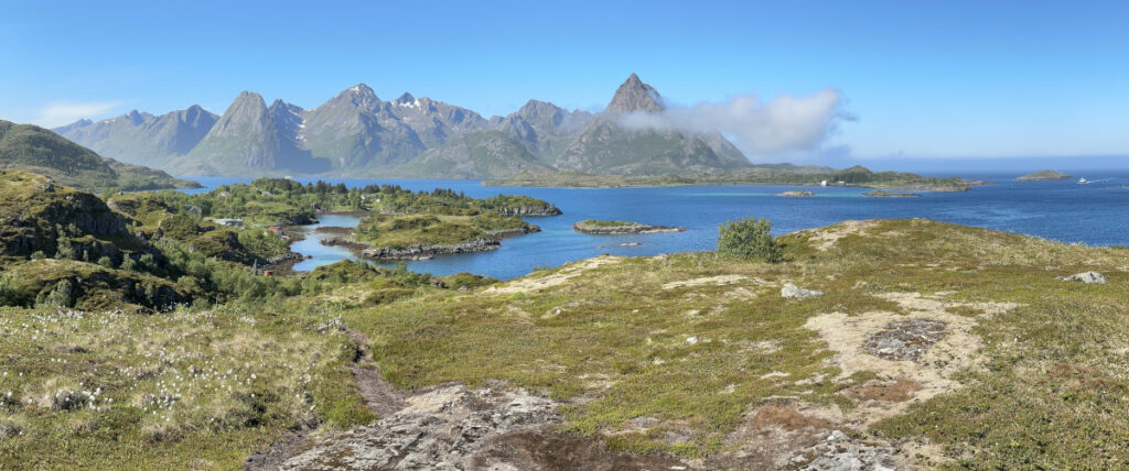
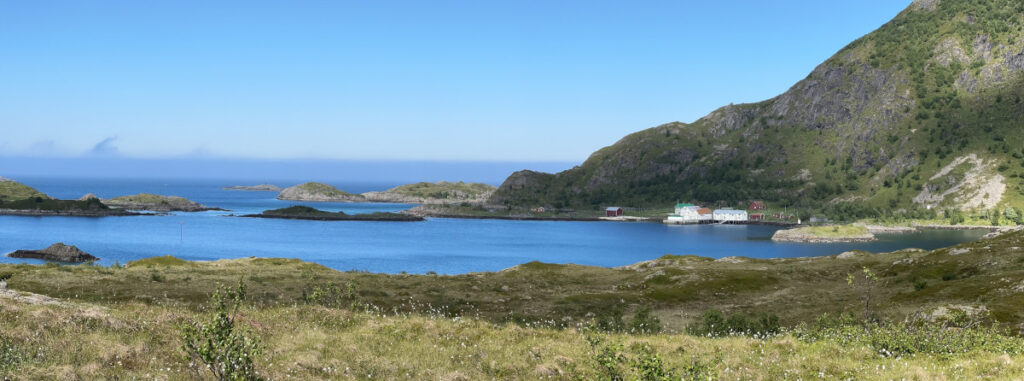
Rost

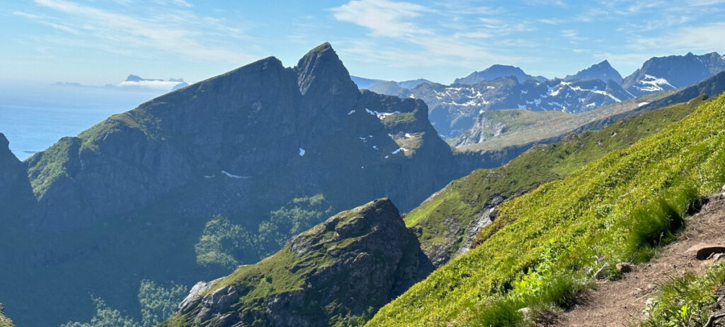
We sailed in nice weather and following winds from Reine. Leaving gave us a different view of Reinebringen .

Popping into Sorvagen (Sørvågen) introduced us to another small hamlet well worth a visit. But not for us this time. Instead, we headed for Vaeroy (Væröy). This was a potential stop for the night but, the going was good so we just past nearby before continuing further south.

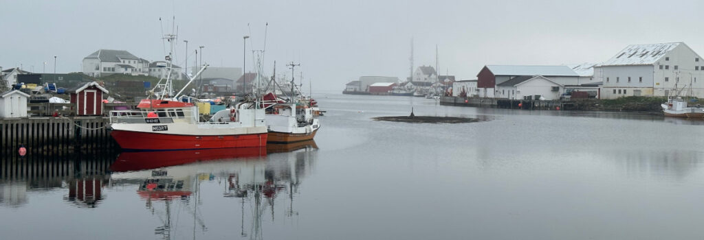
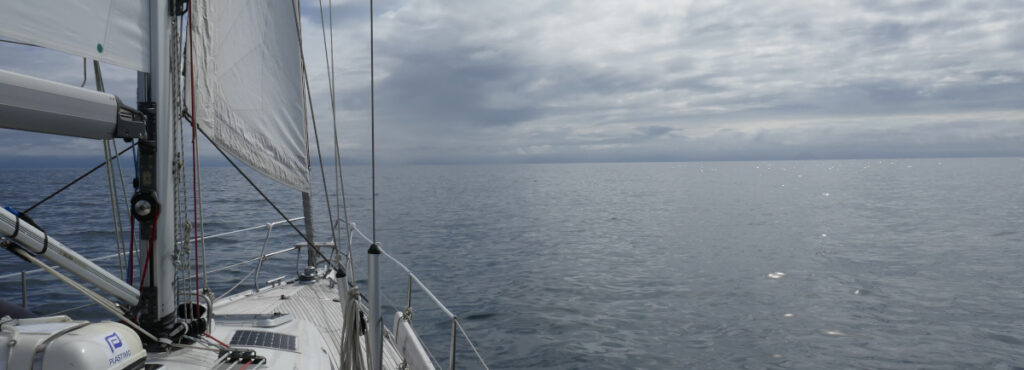
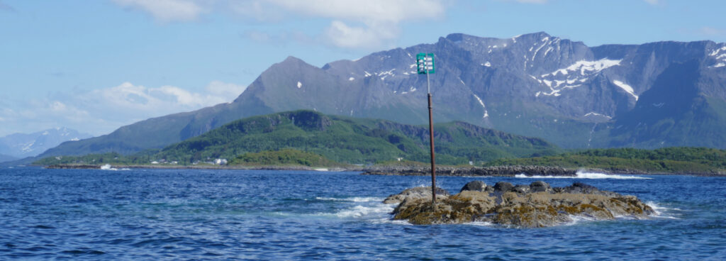
We had seen fog on the sea in the west and some sneaking in over Vaeroy. Rost (Røst), our revised goal for the day, was often hidden in fog as we approached.

We also saw the fog lift creating a mystical feeling. We used the radar on the approach and was lucky enough to see the fog clear as we were approaching the channel to the harbour.

The fog returned later in the evening.

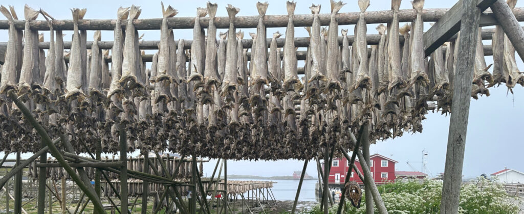
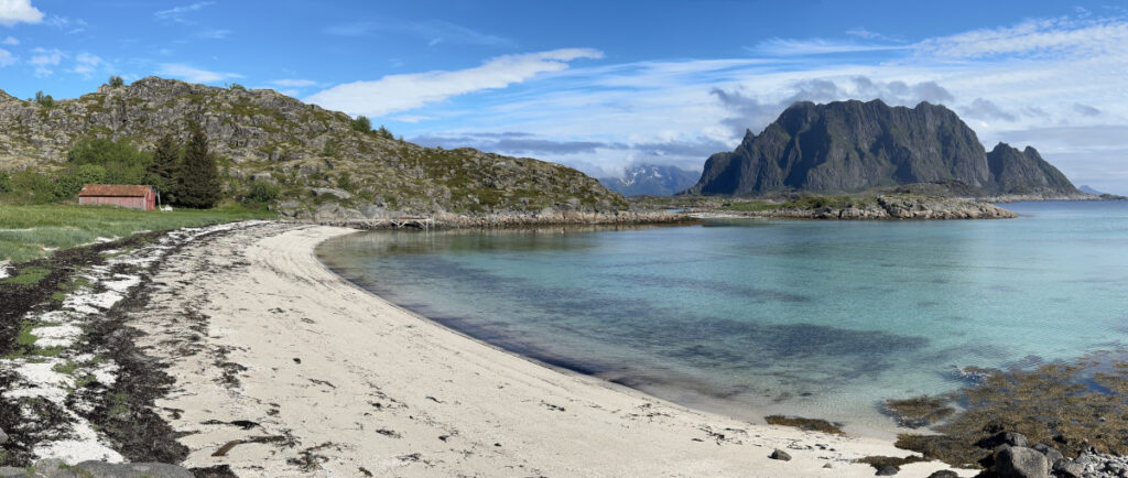
We had a nice walk among the drying fish on these low laying islands that constitutes the southernmost part of Lofoten. The smell from the fish was ever present.

Reine

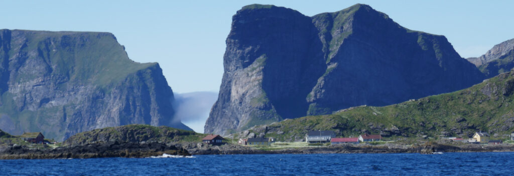
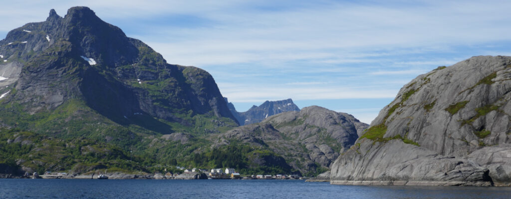
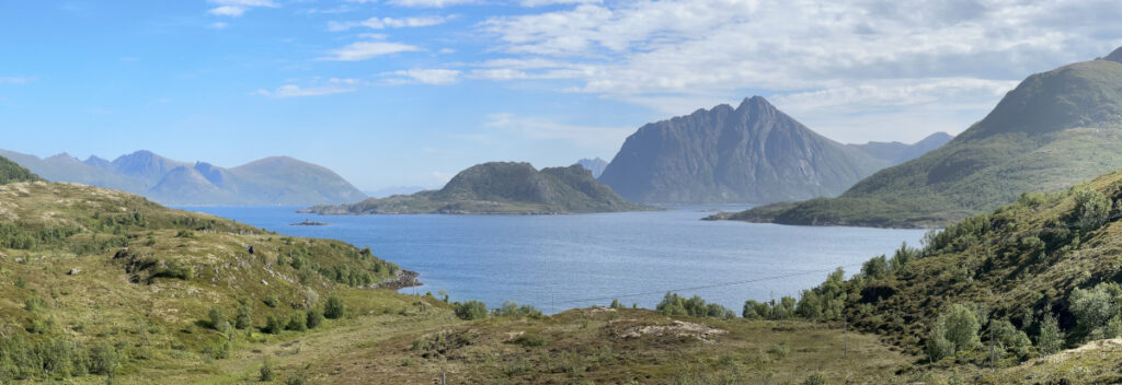
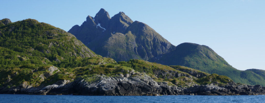
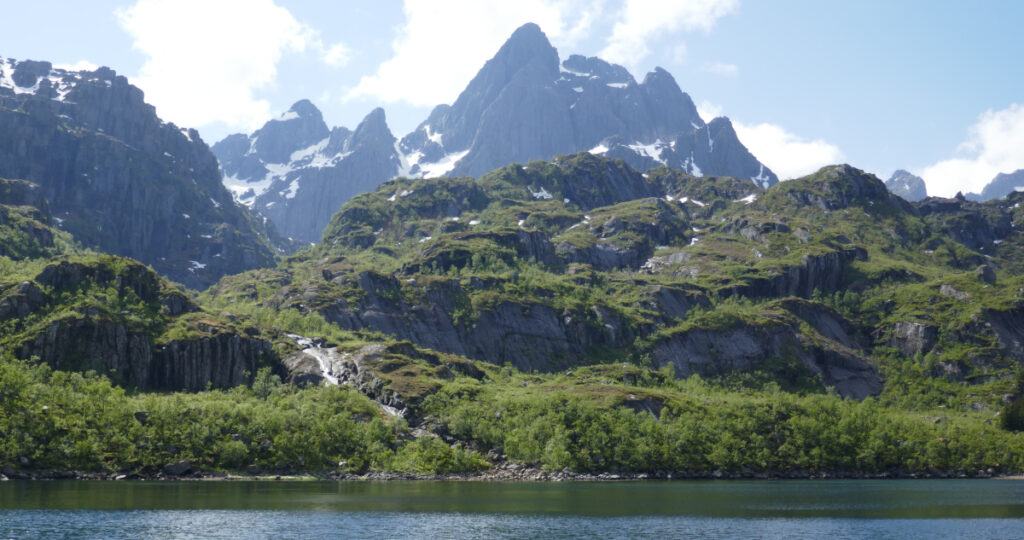
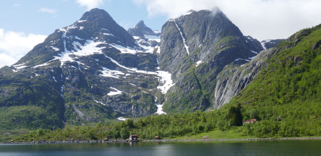
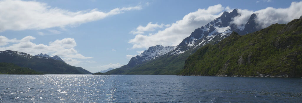
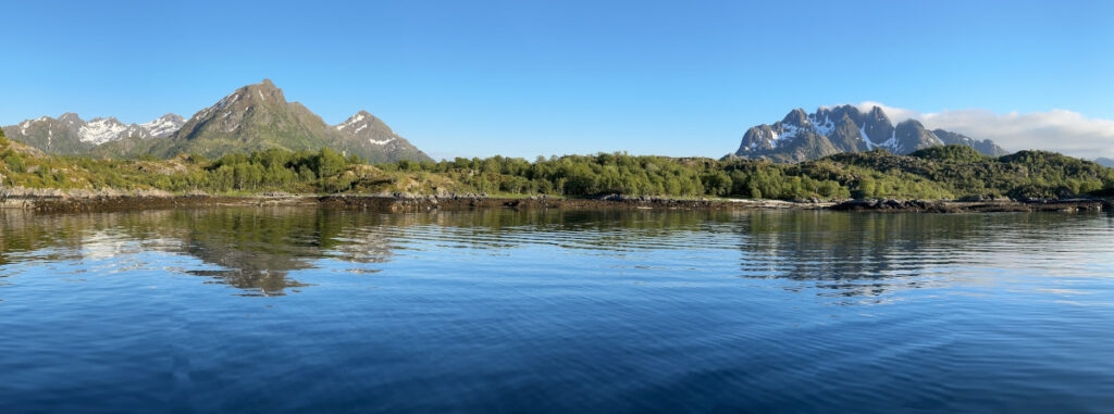
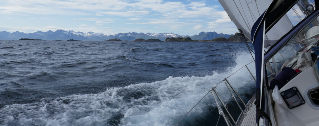
The summer was back as we sailed SW along the impressive Lofoten mountains. They are among the oldest rocks on earth dating back some 3 billion years. The mountains have been shaped by several ice ages.

The wind was very varying as it came from NW, i.e. through the mountains. It blow strong out from the sounds and fjords giving us good speed but disappeared behind some of the mountains forcing us to motor past the calmer parts.

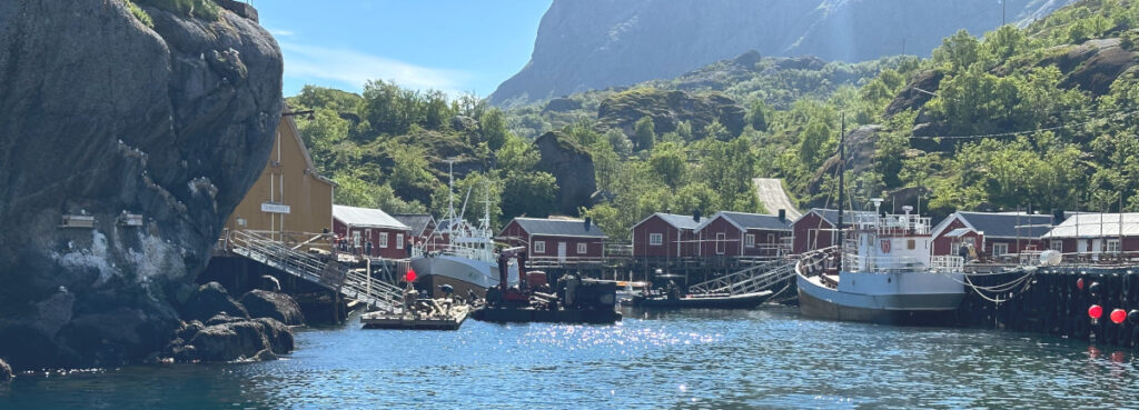
Our plan was to visit one of the oldest and best-preserved fishing hamlets; Nusfjord. As we discover on arrival, the pontoon was occupied by a working platform renovating the docks. Realising that this was what a German sailor had tried to tell us in Henningsvaer, we turn around and head for the next hamlet on our list.

Sailing with full genoa and main, as we had done through the day, we peaked nine knots on an open reach in winds up to 30 knots (15 m/s) towards Reine.

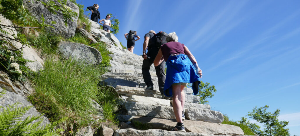
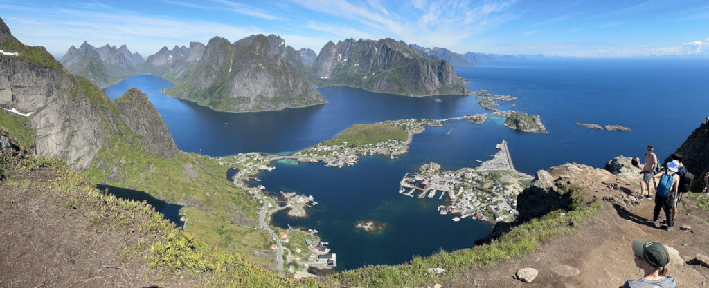
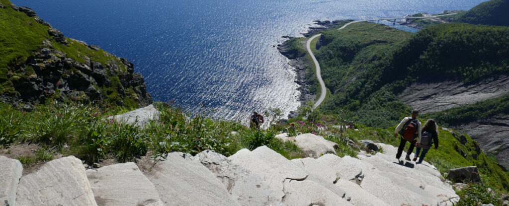
Reine is a nice old fishing hamlet, popular to many kinds of tourists, as it is home to one of Norways most popular and spectacular walks. We decided to stay for the day and make the walk up the 1 971 stairs to the top od Reinebringen.

The stairs stars quite gently but, as opposed to other similar walks we have done, this one does not have any ridges or flat parts. It is just a stairway up the mountain, and it is steep in some parts.

The walk is graded medium, and it was a tough one. Views from the top are among the most photographed and they are definitely worth the clime.

Going down was more scarry than going up for the old man with fear of heights.

Laukvik and Henningsvaer

We left Skipnes on a grey morning with little wind.

Motoring most of the way down to Laukvik, a small fishing hamlet on the NV side of Lofoten. TThe sea was unsettled and we used part of the genoa and main, both sheeted midships, to reduce the rolling motion of the boat.

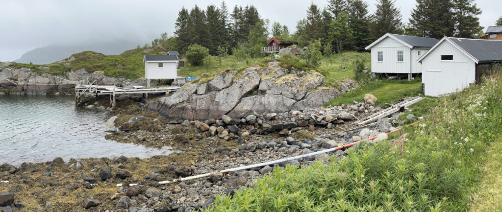
Laukvik, as so many other places along the coast , is still active. We found a lot of cod heads drying adding to the local “atmosphere”. Luckily, the little wind that was, blow in the right direction.

We continued south through Grimsoystraumen (Grimsöystraumen), one of the sounds through the Lofoten islands with Henningsvaer at its southern entrance. Laukvik was strategically close to allow timing the tide that runs 4-5 knots at its peak.

We aimed for the last part of the tide and had a nice following tide all the way.

Around 3 knots in the narrowsby the bridge, and a nice reach south from the there.

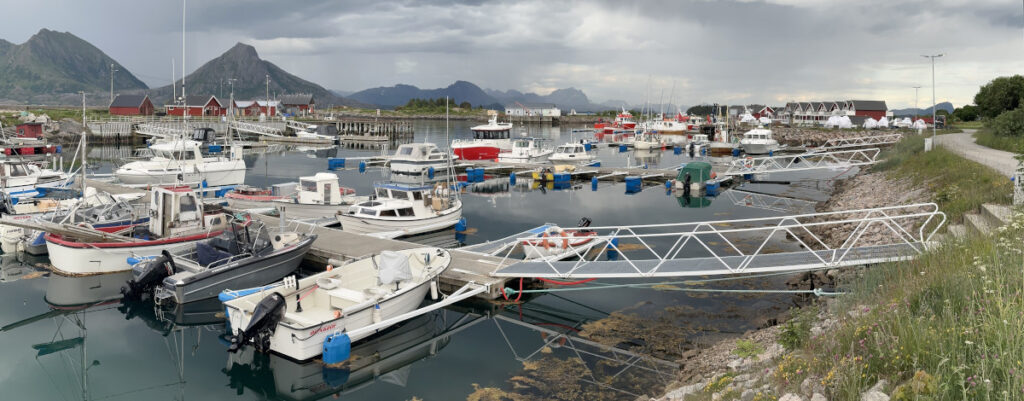
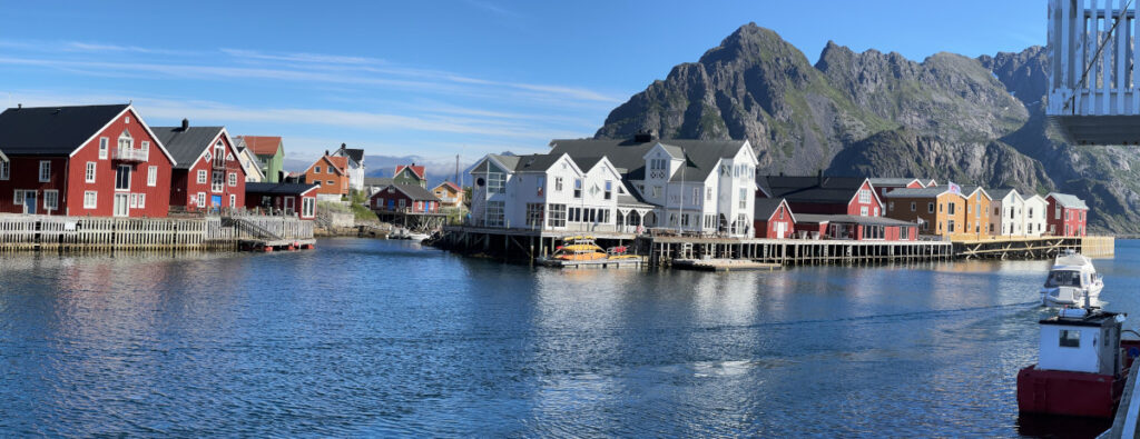
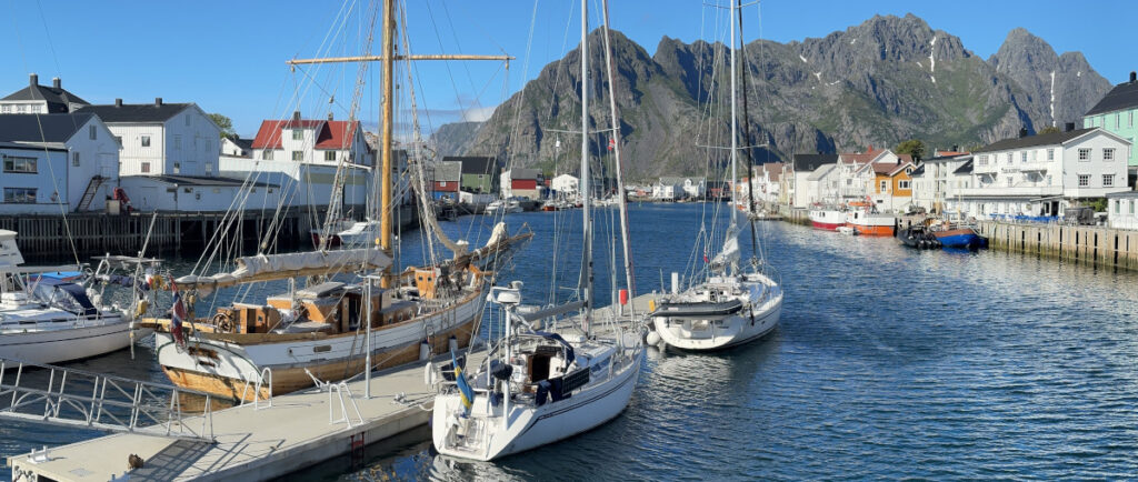
Henningsvaer is a large fishing hamlet with a long and narrow harbour. The pontoons are at the far (southern) end and we had an interesting docking reversing in behind a large sailboat with 15 knots wind on the bow and rocks just behind the pontoon. All went well. We had valuable help from the other sailboat skippered by a Swedish girl from Malmoe.

The fishing hamlets was in full swing already in the 12th century when the export of dried fish through Bergen had developed. There could be up to 30 000 fishermen in 20-30 hamlets in Lofoten dusing the winter.

Skipnes

Skipnes lies on the island of Tindsoy (Tindsøy). This is our third day on this lovely island without cars and roads. It is a grey day with drizzle. The plan was to continue but we had seen fog out to sea yesterday. So, we walk up to Anna, see below, to have a look and the sea was not tempting.

We arrived quite late two days ago after a long sail around Vesteralen (Vesterålen). Looking at the forecasts for the week, yesterday looked like the last “summer day” for some time. Having sailed a lot, we decided to stay and explore.

Seeing the westernmost part of the island one understands the name Tindsoy (at least if one speaks Scandinavian languages).

We took a long walk to the old trading post Tinden. It was closed and deserted. Coffee tasted good in the sun.

It was described as a 45-minute walk – it took us 75 including several stops to admire the views that were amassing.

The local beer tasted very good after out three hours excursion.

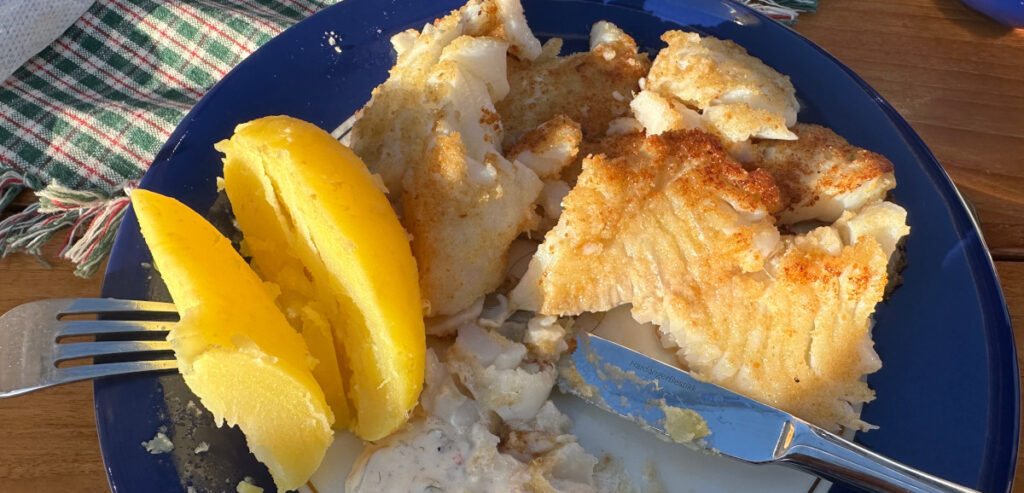
We had diner on local foods as the only guests in the restaurant in the evening. Eva had bokrafisk, a semidried cod. They dry it themselves here according to family traditions where the loins of the Skrei (the cod that comes down from the Barent sea in late winter) are dried over sea water right on the dock outside.

It is dried just enough to get a rich flavour but not so dry that it needs soaking in water before cooking as ordinary dried fish does. It is then frozen for the summer season. It tasted delicious.

A short walk up the hill took us to the statue of Anna in Vinje after dinner. She is an ancestor to Astrid who now runs Fiskevaeret Skipnes. She lived between 1827 and 1913 and was one of the many women on this coast that saw many family members lost at sea. She never gave up, but rather mustered up inner courage, and used it to ensure survival.

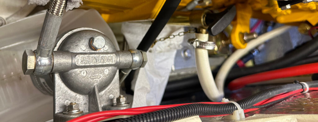
Today have been a relaxed day of catching up on things, a shorter walk, and giving our Vetus engine some TLC. Changing oil is so much easier with this engine as we have a permanently mounted oil change pump and the oil filter on the bulkhead with a plastic box below to catch the old filter and dripping oil.

Turning south

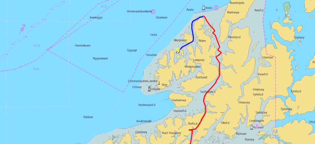
We left the anchorage early to motor north over a flat and calm see, leaving the impressive mountains of Lofoten behind us to enter Vesteralen (Vesterålen), the next region of the Norwegian coast.

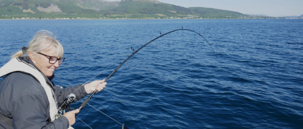
It was still calm and no tide in Sortlandsund south of the bridge. We stopped the boat and drifted over and beyond some 10 m shallows to try our luck with fishing again. At around 20 m the cod started to bite. Eva caught a large one that we lost when we tried to bring it aboard.

Shortly afterwards, we caught one each, Eva once again the largest. She has a red and black lure whereas Hakan has a “svenskepilk”, a silver lure with some squids above it. We resumed motoring happy to have dinner in the refrigerator.

We were able to sail, tacking upwind, north of the bride and most of the way up the sound. The wind died and the sea got confused as we approached the Norden part of Langoy (Langøy).

We passed out northernmost point in the afternoon after 1 265 nm and seven weeks sailing. We were, at 69°01’48 when we rounded Langenes

and headed south on the west side of Vesteralen. We are now, in principle, sailing back but we are not sailing home yet.

The scenery here is like nothing we have ever seen before.

We sit in awe just looking at the ever-changing views.

High mountains barren from sea and wind on the windward (west) side and,

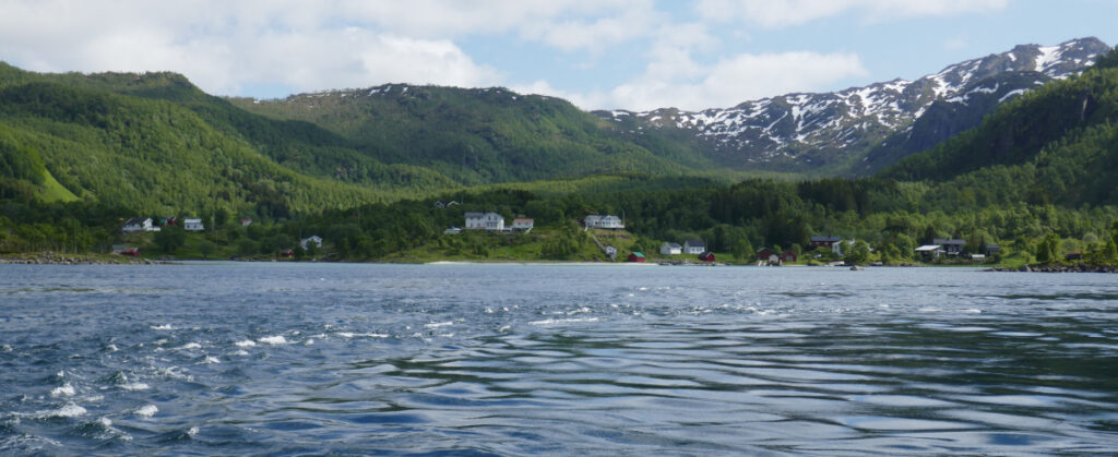
lush and green on the leeward side. Some small fishing hamlets but otherwise quite deserted with the occasional house or farm near the coast.

A long day (61 nm) has taken us to Tindsoy (Tindsøy). We drink our last bottle of bubbles before dinner to celebrate our northernmost sail ever.

Trollfjorden and Raftsundet

We bid farewell to Salto, who we have sailed with on and off for close to a month, and to Carmensita this morning after two nights in Svolvaer. Salto was going back to the coast and Carmensita down the Lofoten island. We, on the other hand, was heading north.

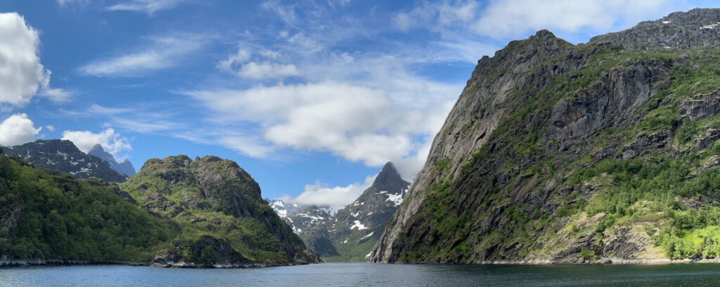
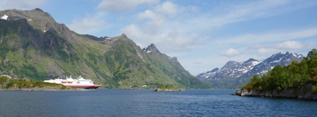
Our first goal was Trollfjorden, a magical, mystical little fjord. In lies about 15 nm from Svolvaer. It is only 100 m wide and a few miles deep but absolutely breathtaking. No wonder there are so many tourist boats in there, even Hurtigruten goes in.

Trollfjorden lies of the southern end of Raftsund, one of a few navigable passages north to south between the islands of the Lofoten chain. As the islands are blocking the tide, the current runs strong in these sounds.

We had tried to time our passage to be at the beginning of the north going tide when the current is building. A prolonged farewell on the dock and, stopping the boat in a failed attempt to catch dinner, had delayed us some.

We had a week following tide increasing to between 3 and 4 knots in the narrowest/shallowest parts up the scenic sound.

At the end of Raftsund lies one of few good anchorages in these parts, Skipoyosen on Brattoya. We saw one boat at anchor, a French boat that had left Svolvaer the day before. There were movements onboard, and they weighted their anchor as we came in, leaving the anchorage for us to use in splendid solitude.

A lovely place surprisingly well protected from the passing traffic in the nearby fairway.

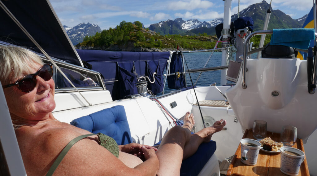
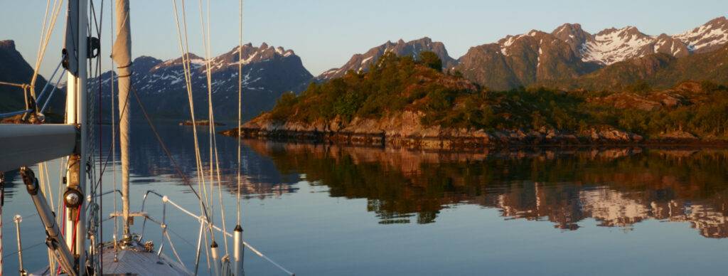
We had a nice, sunny and warm afternoon and a magic evening admiring the lovely scenery.

It is a strange feeling to adjust your solar panels before you go to bed around midnight. Quite a lot of energy is generated as the midnight sun is shining through the night.

Svolvaer

We left Skrova in the afternoon and motored against the wind the short distance to Svolvaer.

Hakan went for a long walk with a friend in search of gas. They did not have our 2 kg Swedish bottles, but they did have the small CampinGaz bottles we use for thegrill. So now we can keep the barbeque going.

Sweden’s national day was celebrated onboard Carmensita with strawberries and bubbles.

A service man arrived the following day to look at our Vitron charger/inverter. It was now working again but still blinking unexplainably. (The Swedish Vitron agent have not for two months and several emails been able to explain why). Five minutes on the phone to a colleague, the service man had a plausible explanation to the blinking. It is not an error indication but, a status indication. He tried to turn of the condition indicated but our present firmware version does not allow this. We hope to meet up next week to load a new version and hopefully get rid of the blinking.

We also got the explanation for the problem in Nordskot. Their dock in known for its unstable power supply. This leads to the charger turning itself of when voltage drops and then restarting again when voltage is OK. So, nothing is wrong with the unit, what a relief.

Skrova

Our plan was to continue north from Nordskot through the easternmost sound, Tjeldsundet. After a windy night and morning with gust up to 40 knots (20 m/s) we were a little hesitant. The southerly wind had turned SE to E and would not be favourable. Also, out charger/inverter was not only blinking but also going on and off, so we mailed to Vitron in Sweden. They suggested a service company in Svolvaer and that made for an easy decision.

We sett sail after lunch and had a nice breeze towards Svolvaer. We also called the service company, and they said that would not be able to help the following day. We decided to stop in Skrova, a nice little island five nm before Svolvaer.

We did not clime the 282 m mountain, said to have fantastic views, the following day. Instead, we walked to the beaches on the NE coast. They are known as the Hawaii of Lofoten. Fantastic white seashell beaches.
Nordskot

We left Kerringoya in lovely weather and a nice breeze. For a while today, we taught we were back in Bohuslan.

But then we looked the other way…

We are now sailing in Steinar, the region north of Helgoland. It has the most beautiful archipelago.

We stayed over night in Nordskot. A small village and good starting point for Lofoten. The pontoon was not the best and there was quite some traffic causing swell. But the setting is beautiful with Lofotenvagga (Lofotenvägga ENG The Lofoten Wall) in the west.

Kjerringoya

A nice sail in following winds took us north from Bodo to Kjerringoya (Kjerringøya). Kjerringoya was the wealthiest trading post in Norway during the 19th century. Trading in fish between Nordland County and Bergen. The trading post is now a well-kept museum.

The marina and the facilities were excellent with washing machines and plenty of hot water in the showers. The nice village is not so large but large enough for a shop with fresh pastries.

We did a lot of laundry and had some nice walks in the historic settings.

We were three boats on the pontoon as we were joined by Carmensita.

I denna blog skriver vi lite nu och då om båten och våra seglatser. Kontakt: sally@bikan.se +46708220250