Baggviken, Mjalton

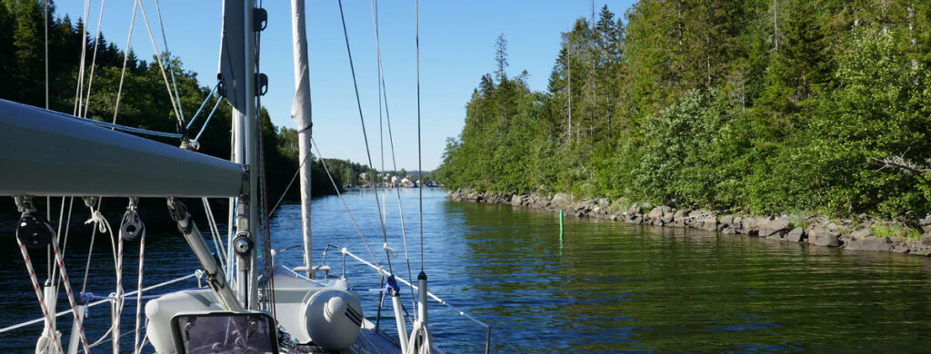
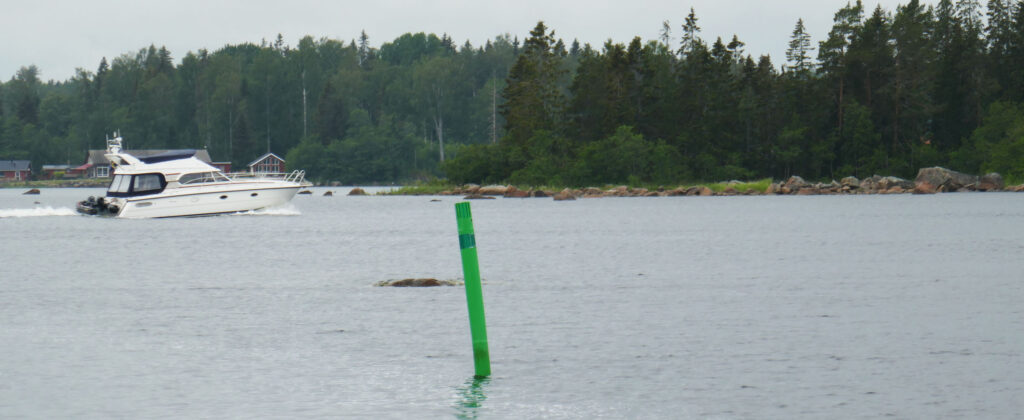
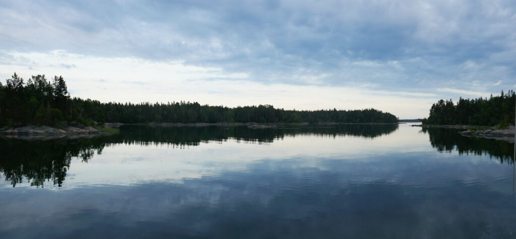
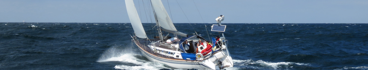
We motored out of the three consecutive “bays” from Haggvik. The sails were unfurled and we started beating to windward in light winds once we were in in more open waters. We were joined by another boat after a narrow sound and that brought out the racing devil in Hakan. The code 0 replaced the genoa and Sally pick up speed. To our surprise we also sailed higher to the wind than the other boat that soon was left far behind.

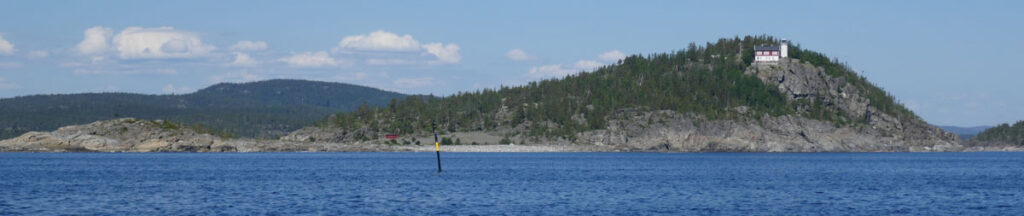
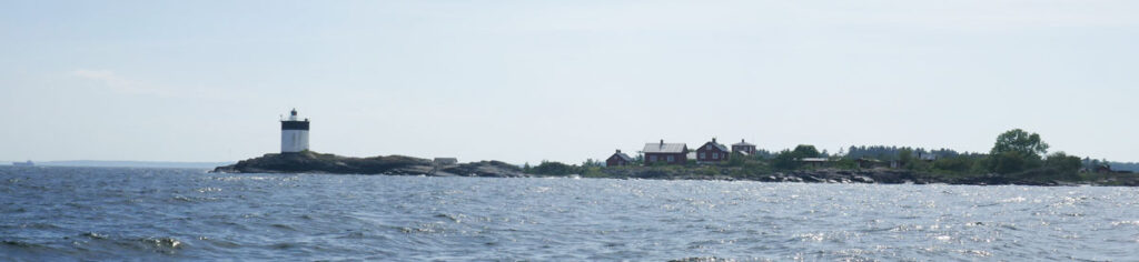
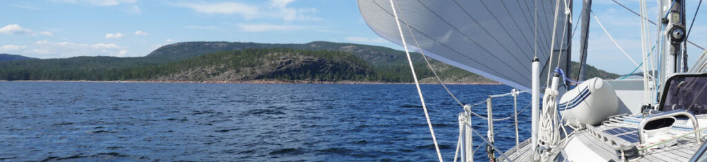
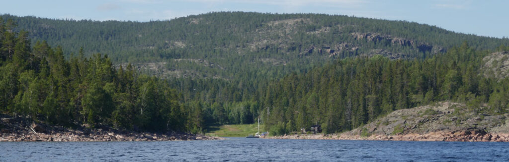
The plan had been to change to Code 0 later but now we had to tack with the large sail that has to be furled and unfurled each time we tack. We rounded the famous lighthouse Hogbonden (Högbonden) and headed north. The thermal wind turned clockwise and we turned westwards. In the end we found us dead downwind as we were approaching Mjalton (Mjältön).

Is there a harbour?
Maybe?

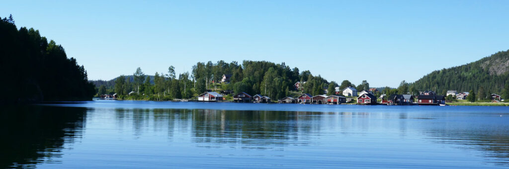
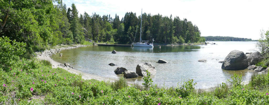
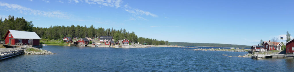
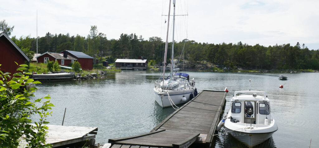
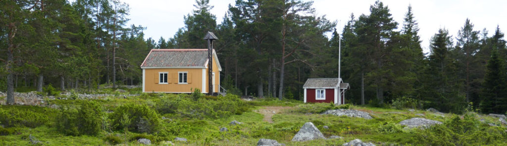
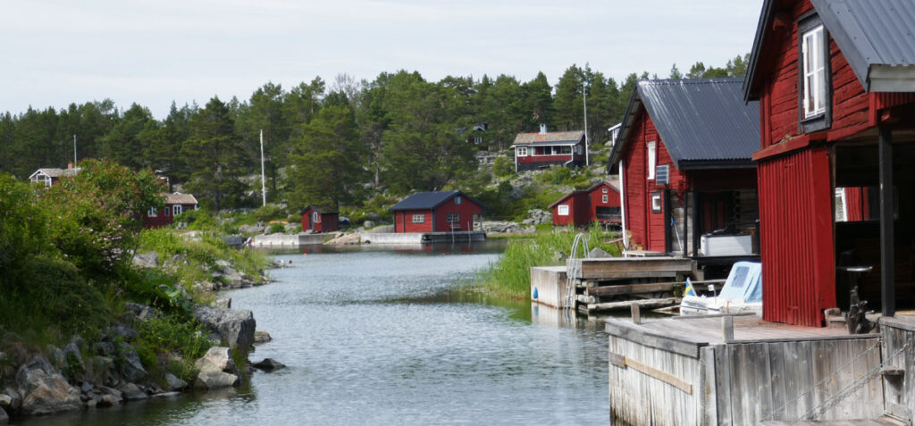
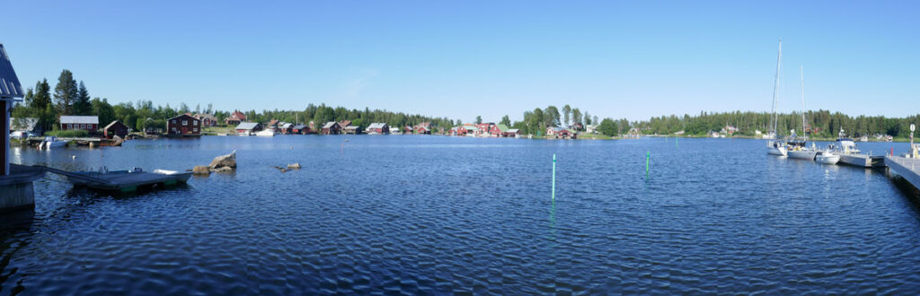
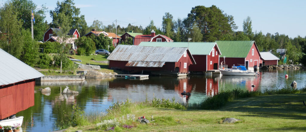
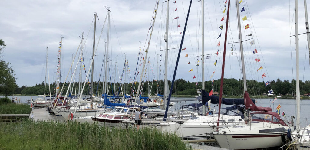
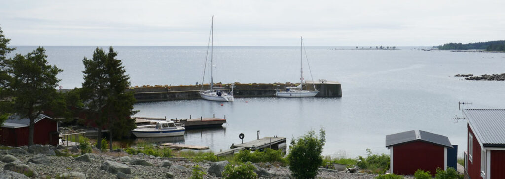
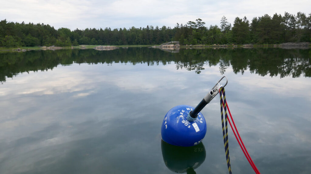
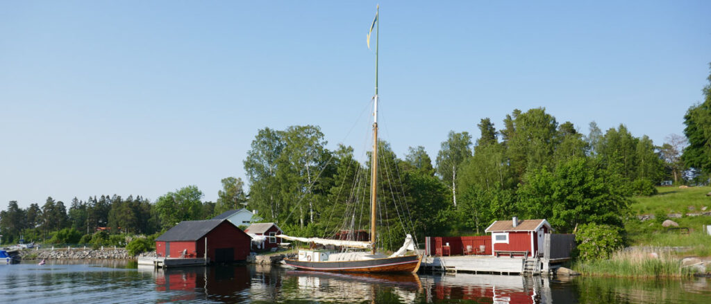
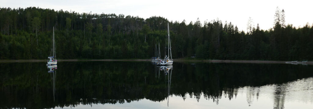
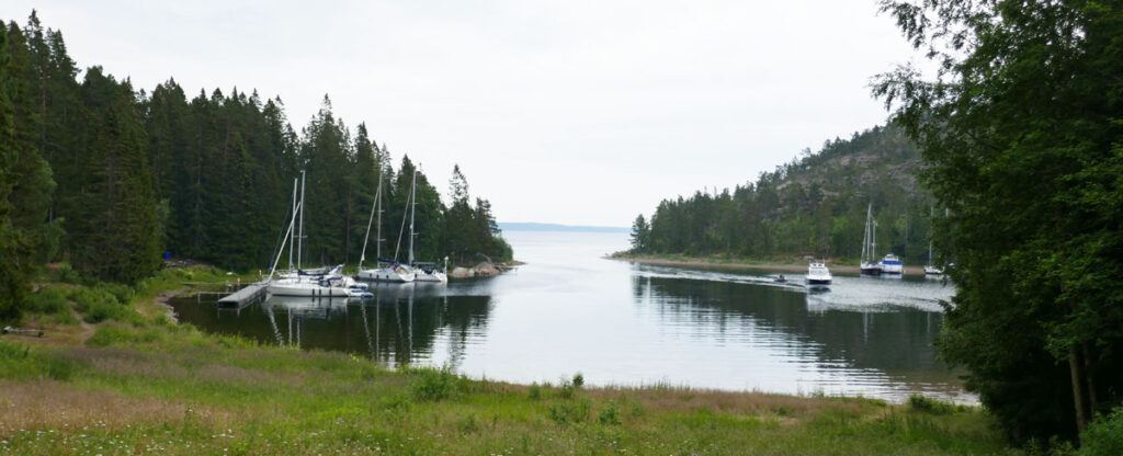
Baggeviken on the south east side is a protected lagoon with several pontoons to more up to. It is a very popular place and provides easy access to the trails on the island.

It is never dark at this time of hte year.

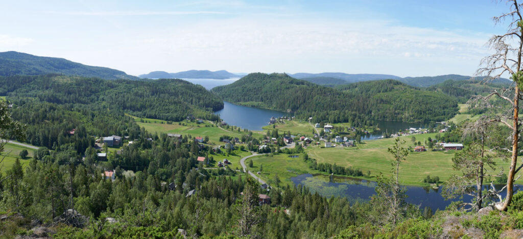
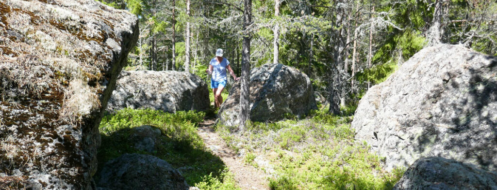
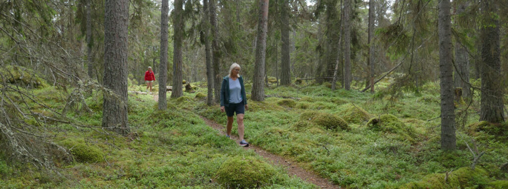
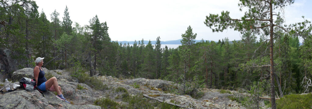
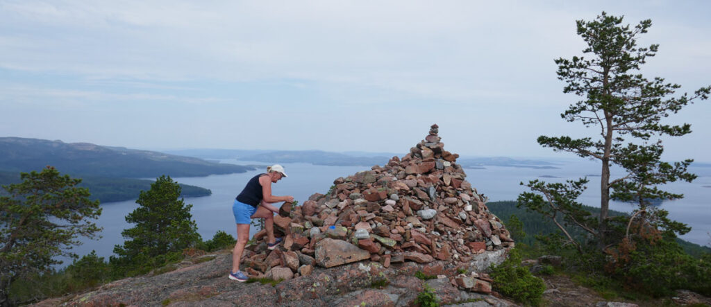
Mjalton is the highest island in Sweden reaching 236 m. It is a tradition among sailors to walk to the top and put a stone on the mound of stones on the top.

Short break on the westside of the island.
A lot of stones left by the ice.
We found a bid stone on our way up to at to the mound.

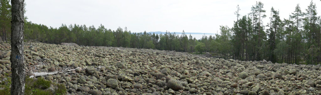
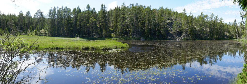
We took a detour through the national park before the final climb to the top.

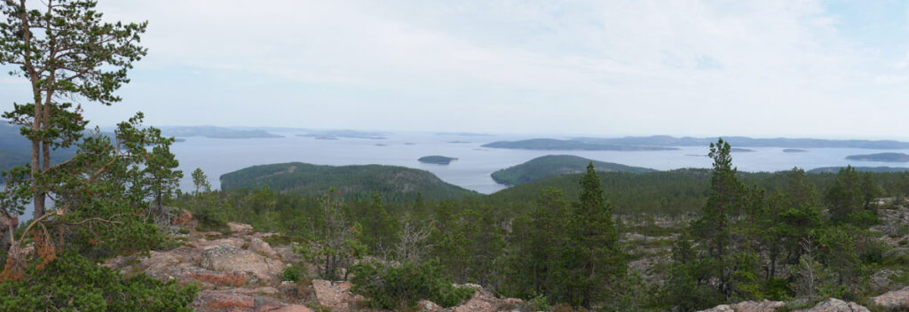
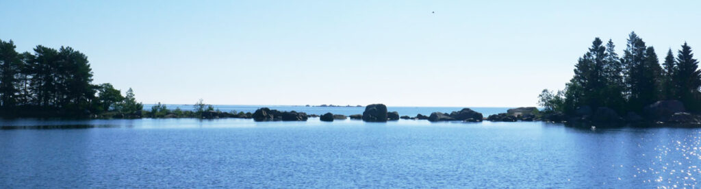
Lunch on the top was a welcome reward for our efforts and it has been some time now (Milos in Greece comes to mind) since we last had such a magnificent view during lunch.

Back in the harbour, Sally is tha outmost boat to the left.

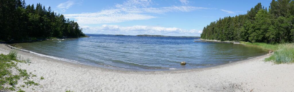
We took a swim in the sea when we were back on the boat. Water temperatures are just high enough now (18-21 deg C) for a quick swim.

Haggvik

Sailing the “High Coast” offers three kind of winds; downwind, headwind and no wind. We experienced all three of them yesterday whilst sailing approximately the same heading. Luckily, we had mostly following winds but some furling, motoring and unfurling was necessary to cope with the effect of high wooded islands.

The narrow and now dredged entrance to Haggvik

We arrived at Haggvik (Häggvik) in early evening. The entrance was narrow but well-marked and the small dock offered excellent facilities. We decided to stay today and started up laundry early in the morning before taking a hike to “Stortorget” 135 m above the boat.

The bay at Haggvik. The small harbour is behind the island in front of us.

This area is subject to land rice. What we see today was 2 500 years ago a large bay. The lake below us was as late as 200 years ago connected to the sea allowing the material to the church in nearby Nordingra (Nordingrå) to be carried by ships all the way. In 500 years time, our harbour is likely to be a small lake.

The impressive view from Stortorget. Sally is at the small dock in the innermost bay to the right.

Eva did in total 3 washing machines and managed to get all our laundry done and dried before barbeque on the dock and pleasant talk with the other sailors until rather late. The sun sets at 10.45 pm and the nights are not dark.

Harnosand

Yesterday was a gennaker day. It stayed up for most of 8 hours as we sailed north. The wind varied in strength and we had some calm spots behind a large island that required motoring but, for almost all the time, it was a long and pleasant sail in glorious summer weather.

We decided to cut across the bay outside Sundsvall and sail directly to Harnosand (Härnösand). Harnosand sits om a sound and there are two opening bridges in the city. They open three times a day during summer and we were a little bit early for the evening opening. We decided to wait and go through before mooring for the night. In that way, we had the freedom to leave whenever we wanted today. Passing the bridges reminded us of the canals in the Netherlands.

Harnosand is a nice little town. We had bears and hamburgers on the dock yesterday evening. This morning we provisioned and filled up with fuel before leaving around noon. Harnosand also marks a change in the coast and archipelago. The islands are larger and higher and the coast we are now sailing is referred to as the “High Coast” (Höga Kusten). Most of it is a world heritage area and it is extremely beautiful.

New homes on the water just south of the city with the ski slopes in their back yard

We are really excited to be here. This is our main goal for this summer and we hope to be able to explore both by see and land. There are a lot of hiking trails…

Lillubban

A couple of ours motoring today has allowed us to catch up on the blogging so there are several new postings today.

We woke up to another sunny day yesterday and the wind seemed to be less than forecasted. Ahead of us was a 40 nm long open stretch of water with few sheltered harbours. We learned that the forecast was right as soon as we left our protected bay.

Who would belive there was 20 knots + blowing all around us?

The wind was from the north and out first tack took us towards the point outside Holick (Hölick). We had 20 knots gusting 25 on the nose by the time we got close to the point. No problem to sail in, we have done it often enough but, why if we don’t have to? So, we tacked and sailed in under the lea of Tunaolmen where we found our own private dock where we could tie up in calm waters and sit and watch the whitecaps outside from our sunny cockpit.

The bay on the north side of the island.

We had not heard or read anything about Tunaolmen and it turned out to be a very pleasant surprise.

In folklore these bolders were thrown arround by the giants. A more reasonable explanation is the ice age that lasted long in this part of Swden.

There is a nice walking 6 km path all around the island, mostly in the protected old woods.

The path passed a nice lake with waterlillies.

It takes you between the two bays with pontoons as well as to the small old fishing village.

Today has been an upwind day. Not as strong winds as yesterday but out first hour tack was under reefed main. The wind lifted us as we headed north on the next tack and we were able to almost lay our course in decreasing winds until the wind died out. We charged the batteries for a couple of hours before reaching the SXK harbour at Lillubban around 7 pm.

Krakon

A short 15 nm upwind sail took us to Karakon (Kråkön) before lunch. Another narrow entrance to a small old fishing village. We were the only boat staying overnight at the small dock at the end of the bay.

We took a walk on the island after lunch. Tjis was another typical summer camp for people living on the main land. It was used from end of May to October and the system to distribute the fishing grounds between the around 10 teams fishing from hear was by lottery followed by rotation to give everyone a fair chance.

There was a small but well-kept chapel on the island and next to it a small red cabin for the priest.

Clouds moved in in the afternoon and rain fell in the evening. A strong breeze was blowing all around us as we lay in the lea of the wooded island.

Skarsa

We motored down the river from Soderhamn (Söderhamn) and started sailing as soon as there was room enough to tack. A light breeze gave us a pleasant sail and as we rounded the point and headed north, the wind became following.

We had a slow, sunny and most enjoyable sail following a winding old fairway and then across some more open waters inside the islands. We were heading for Skarsa (Skärså) with its very narrow and winding entrance.

It was narrow and winding but well-marked and we motored slowly to stay on the safe side. We found a nice municipal dock with water and electricity at a reasonable price straight ahead as we entered the harbour.

Skarsa was a thriving fishing centre a hundred years ago with 40 active fishermen, fish processing, salting, smoking and canning industries. Today, there is one fisherman from whom one can by smoked and sometimes also fresh fish. He was closed by the time we got there on our walk.

Midsummer

We spent Midsummer with Hakans brother Goran and his wife Kia. Eva and Kia arrived by car late Thursday, We left Gavle as soon as all luggage, food and drinks was on board and the car parked. Gavle (Gävle) had provided excellent provisioning but the harbour had little else to offer. It took us and hour to reach Granskär and find a spot at the dock. The evening meal was late and we went to bed soon after.

We had just enough time for a short walk around the island before the rain started. The traditional lunch had to be taken under the cover of our cockpit tent instead as planned on the dock with the other crews.

Luckily, the sky cleared and provided us a nice evening with a barbeque in front of the small clubhouse on the north side of the island. We met a number of local sailors and received a lot of good advice for our trip north.

We left quite early the next day. The wind was from the north so we started by motoring up the fairway to open waters and upwind sailing.

There are quite a lott of rocks in this area and the fairway winds its way around them.

We reached Axmar in the afternoon after another spell of motoring through narrow and winding channels.

Axmar has a very interesting industrial history having had an iron mill from 1671 until 1927. The old mansion is gone but the mill still stands together with a number of other old buildings and a large park. The entire area is now a cultural reserve open to the public and we had a nice and educating afternoon walk.

The ”New mill” boilt 1870 still stands.

The old harbour warehouse has been converted to a niece restaurant with excellent seafood. We had a lovely three course dinner and saved ourselves some galley work on board.

Late night ar Axmar, it is never dark at this time of the year this far north.

The next day saw us up quite early and as we motored out and up the narrow fairways. The wind was dead against so we continued under motor to Storjungfrun, an outlying island.

We had lunch after a walk on the island with its unique nature before continuing by motor on the narrow fairway towards Soredhamn (Söderhamn).

Laying at this SXK buoy, there is only a thin line of bolders protecting us fron the sea.

We spent the last night on a SXK buoy near the main fairway and continued up the river to Soderhamn on Monday morning. Goran and Kia left to go by bus and train back to Gavle and we provisioned for the coming week before lunch.

If you would like to subscribe to our blog in order to have E-mail notifications when we post something, please go to the bottom of the page and enter your mail address, then klick on “Subscribe”/”Prenumerera”.

Gavle

We did quite a long stretch yesterday mostly in open waters. The wind was dead against us as we left Oregrund at 7 am so we motored for three hours before setting sails. By the, wind was steady but, still heading us, so we made a couple of tacks. The wind turned slightly to the north as we rounded Brornen (Björnen) lighthouse and turned eastwards and, we could ease of the few inches on the sheets needed to give us speed

It was a quick but quite bumpy ride east for three hours before we entered the protected waters of the bay of Gavle. We have now formally entered northen Sweden (Norrland) as we passed Dalalven (Dalälven) shortly befor entering the bay. Aroun 450 nm coastlime now remains if we whant to reach the Finnish border.

SXK has an out harbour at Granskar (Granskär) where we spent the night. A brand new pontoon with electricity was available. The question is now whether there will be space available during Midsummer as we plan to come back on Friday morning.

Today we motored the 5 nm to Gavle where we have cleaned and provisioned the boat. We are now waiting for our wife’s to arrive by car late evening.

Oregrund

We had stable following winds yesterday. We started at seven with a nice breakfast sailing under Code 0. The Code was replaced with the gennaker shortly after breakfast. Four gibes took us along the fairways to Arholma where one has to go out in the open sea for around 20 nm. Another gibe at sea and then we were heading into a new archipelago.

Entering the archipellago at Svartklubben lighthouse

We opted for a SXK boy at Sladdaron (Sladdarön) in an extremely well protected bay.

’We had some rain and a lot of mosquitoes in the evening but, our nets and cockpit tent kept most of them out of our way and we slept soundly after another nice day of sailing.

16 tacks to Oregrund

We had a slow start today as the planned distance was only 6 nm. It turned out to be 9 as we had to beat our way to windward. But, the weather was nice and the breeze perfect so no complains. We stopped early in Oregrund (Öregrund) as the forecast predicted strong northerlies (dead against) and rain today.

THe museum buildings

Oregrund is an old trading town on the east coast with a long shipping tradition. Almost all Swedish steal was exported from here during 17th and 18th century mostly to England where the “Argroun Irin” was highly sought after for its fine quality. There are well preserved wooden buildings in the old part of town.

The home of a welthy shipowner 100 years ago

We were lucky enough to find a kind man at the local museum that, despite the fact that the museum was not yet open for the season, gave us a tour and told a lot of stories from days gone by.

Blido

Today was again a lovely summer day with light winds. We had more following winds than yesterday so our Code 0 came to good use. It was unfurled and fuled a number of times as we tried to sain as soon as we had some wing. We also set a new record sailing for a long time 28 deg from the apparent wind and almost laying our mark.

An old freighter used to sail timber and firewood to Stockholm. There were hundreds of this type at the turn of the last century.

The thermal wind picked up after lunch and we made good speed north along a winding fairway from Fjaderholmarna (fjäderholmarna) through Finnhamn up to Blido (Blidö) where we spent the night.

I denna blog skriver vi lite nu och då om båten och våra seglatser. Kontakt: sally@bikan.se +46708220250